The National Weather Service is warning of severe weather threats to the Northeast Georgia area this weekend, as a line of severe thunderstorms is expected to make its way across the Southeast.
Forecaster Meredith Wyatt with the NWS Peachtree City office said Thursday morning that the system is currently projected to reach Northeast Georgia Saturday night, lasting through Sunday morning.
"We are getting to a point of being able to see this system in higher resolution model data, so that is something we're going to be honing in on today, is kind of narrowing down that specific timeframe as this storm system moves through the state," Wyatt said. "Right now we're saying late evening, overnight, but we hope to be able to refine that."
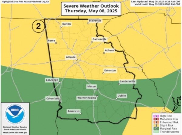
The latest advisory issued by the weather service listed all of the Northeast Georgia region under an "enhanced risk" of severe weather for that time period. Wyatt said there will likely be several threats with the system.
"All modes of severe weather are going to be possible, so damaging winds, hail and also a strong tornado cannot be ruled out," Wyatt said.
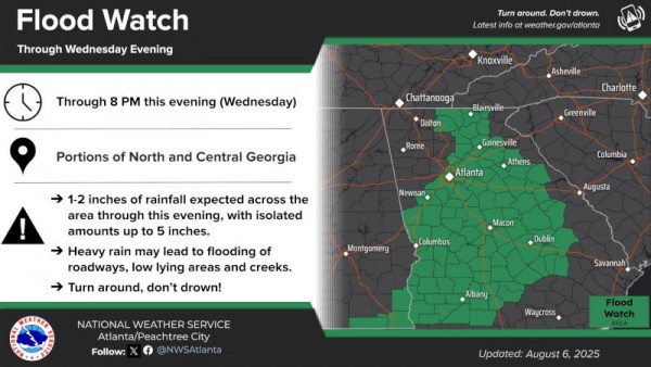
The weather service has also placed the region under a "slight risk" for flooding.
"The main thing we're trying to convey right now is to start planning accordingly. We know it's the weekend, we know people are probably making plans, doing recreational things. Please remain weather aware," Wyatt said. "Start putting your weather safety plan together, making sure it's communicated among your friends and family. Know where your safe place is."
Wyatt also advised that because the storm is expected to move through in the late evening and overnight hours, it's important to have multiple ways of receiving weather alerts and to have flashlights on hand. She said the storm is likely be out of the region by Sunday afternoon, with drier and cooler air moving into the area next week.