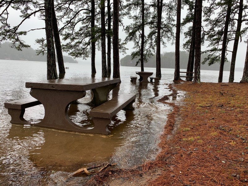
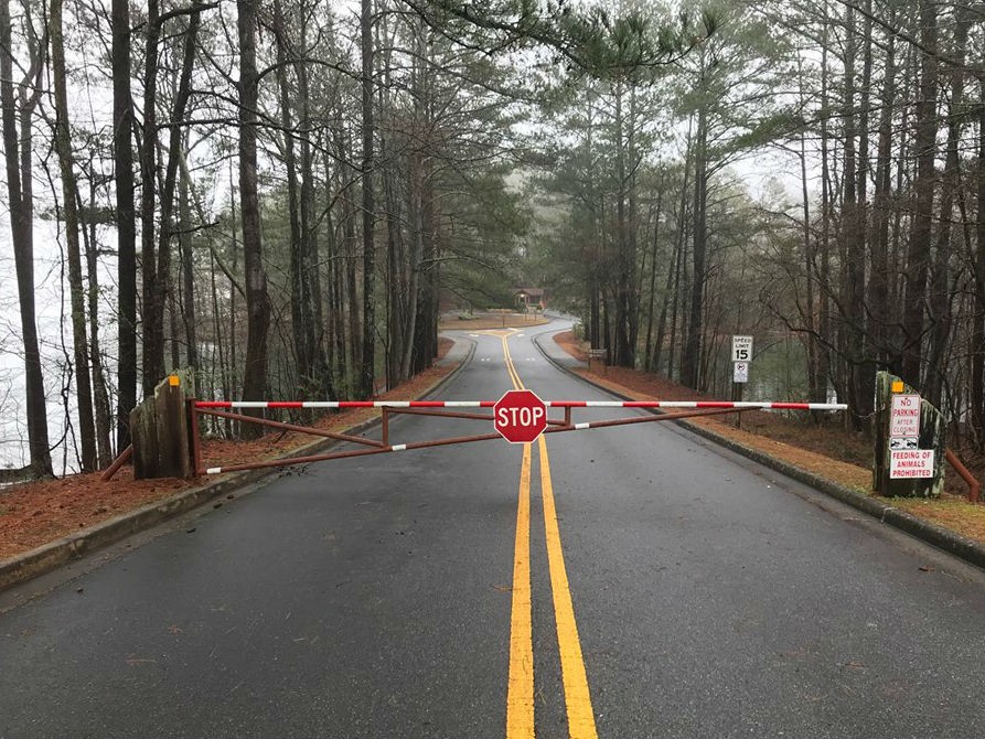
As of mid-morning Saturday, the number of U.S. Army Corps of Engineers facilities on Lake Lanier that had been closed because of high water levels had risen to 20. That's up from six just a couple of days ago.
These are the parks and boat ramps that are closed:
- Little River
- Toto Creek
- Nix Bridge
- Thompson Bridge
- Thompson Creek
- East Bank
- Old Federal Day Use
- Van Pugh North
- Mountain View
- West Bank (closed completely)
- Long Hollow (courtesy dock only)
- Keith’s Bridge
- Simpson
- Robinson
- Sardis Creek (and the road to the Rangers station)
- Bolding Mill
- Belton Bridge
- Little Ridge
The level of the lake at mid-morning Saturday was 1075.62, which is more than 5.5 feet above winter full pool, and just 1.5 feet below the all-time high which was recorded April 14, 1964.
The Corps Saturday offered this breakdown of the highest recorded water levels on record:
1077.15 - Apr. 14, 1964
1076.20 - Apr. 5, 1977
1076.05 - Mar. 30, 1980
1075.99 - Apr. 15, 1979
1075.75 - Apr. 1, 1976
1075.62 - Feb. 23, 2019 (current reading)
1075.43 - Dec. 31, 2015
Meanwhile, other government entities with parks, trails, campsites, etc. around the lake, as well as some businesses adjacent to the lake, are struggling with the impact of the still-rising waters. Lakeside homeowners are also on the alert, especially for problems associated with their boat docks.
The rising water is the result of a week of sometimes torrential rains across north Georgia, including the two river basins that drain into the lake - the Chattahoochee and the Chestatee. Rainfall totals of six inches and more have been common in many areas.
This is the second time this year that Lanier has been impacted in such a way.


