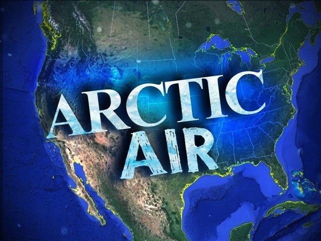
After a brief break over the weekend and Monday, the year's fourth blast of polar air will move into North Georgia Tuesday.
This will bring the region more nighttime lows in the teens and daytime highs that barely make it above freezing.
The AccuWeather forecast calls for a high of 44 Saturday, 46 Sunday and 50 Monday, with lows of 23 Saturday, 34 Sunday and 24 Monday. But Tuesday the high is expected to be only 34 with a low of 14, with Wednesday's readings expected to be 33 and 17.
Friday, the high in Gainesville at Lee Gilmer Memorial Airport was 32; the low was 10. The averages for the date are 51 and 33, respectively. A wind chill advisory was in effect overnight Thursday and until 10:00 Friday morning. The lowest wind chill reading in Gainesville Friday occurred during the 7:00 hour in the morning, -2.
The National Weather Service (NWS) says temperatures managed to remain above zero Thursday night in most places, even in the mountains, although Brasstown Bald, near Blairsville and the highest peak in the state, recorded a zero reading as did a recording station near Blue Ridge.
Temperatures in Gainesville have been below normal on 17 of the first 24 days of the new year.
Sunday
August 24th, 2025
5:34PM