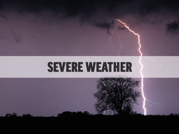
While current forecasts predict the worst stormy weather in the northwest part of the state, northeast Georgia isn't out of the woods for severe weather Monday afternoon and evening.
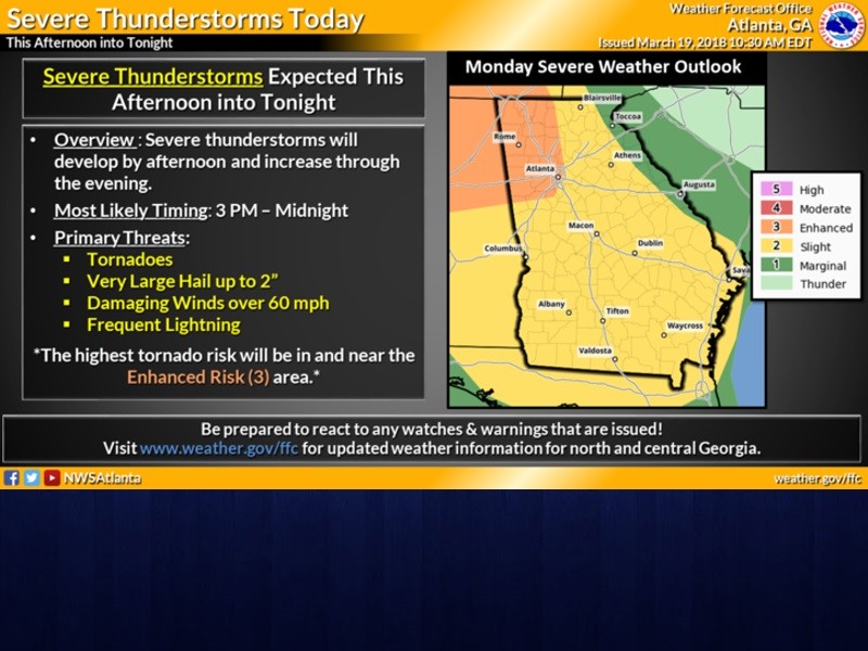
The biggest threat window is between 3 p.m. and midnight according to the National Weather Service.
"Even a few tornados, very large hail, up to two inches in diameter, damaging wind gusts over 60 miles an hour and frequent lightning (are) all possible," Meteorologist John Wetherbee said.
The storms are expected to come in waves, one during the afternoon and another line during the evening, with the worst being in the afternoon.
"Also locally heavy rainfall with urban and small stream flooding, so we still need to be weather alert," Wetherbee added.
The northeast part of the state is in a slight to marginal risk area for the severe storms, according to the National Weather Service. Forecasters said the biggest threat for stormy weather was in the northwest corner of the state.
Emergency officials in Hall County were holding an afternoon weather briefing in the Emergency Operations Center Monday in anticipation of possible severe weather.