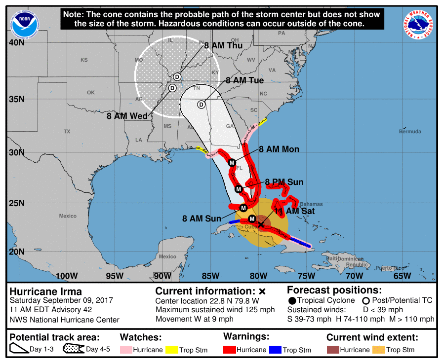
The latest projected path of Hurricane Irma has the storm shifted to the west, away from Gainesville and the rest of northeast Georgia, but that has only increased the likelihood of adverse weather in the region.
The National Weather Service's 11:00 a.m. advisory shows the track of the storm through west and west central Georgia (most of the state), a large part of Alabama and parts of Tennessee.
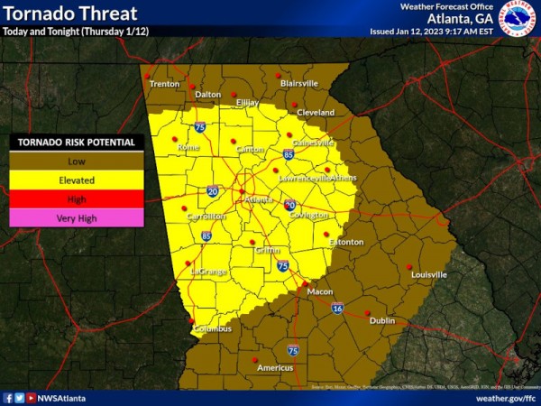
"The impacts of Irma...will be quickly ramping up from south to north (beginning late Sunday)," the advisory says. "(The) recent model guidance favoring a slight westward shift in the track...increases the likelihood of more significant wind, heavy rainfall, and isolated tornado impacts in central and north Georgia during the Monday into Tuesday time frame. The most appreciable heavy rainfall, high wind, and severe weather threat will begin to increase across central Georgia Monday morning and work northward through the day Monday."
North and central Georgia can expected sustained winds of more than 40 mph with frequent gusts of 50-60 mph, with higher gusts possible in central Georgia.
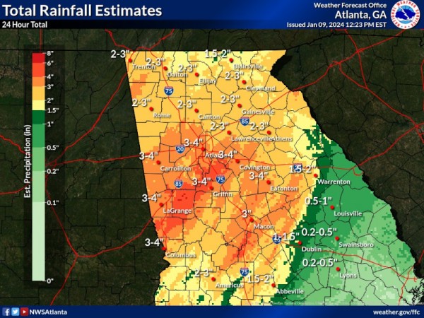
"Winds of this caliber over an extended time period from Monday into Tuesday morning would be very impactful to trees and power lines. Widespread total rainfall amounts in the 4-6" range also appear increasingly likely with some isolated higher amounts in the 7-8" range possible in some places. Given these expected rainfall totals, flooding issues will also be an increasing concern through the day Monday into Tuesday. As if this was not enough, the tornado threat will be on the increase for areas to the east of Irma`s center during this time frame as well."


