Hall Co. launches additional website for property, assessment data
By Staff
Posted 4:18PM on Sunday, September 14, 2014
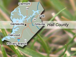
GAINESVILLE - A new tool is now available, giving people in Hall County an additional option for accessing online property and assessment data. <br />
<br />
Hall County Geographic Information Systems (GIS) officials have collaborated with a company called qPublic.net to provide a new web-mapping service, featuring a fast, easy to use interface. The primary focus of this site is to provide access to parcel and property assessment information commonly used by citizens as well as those in the real estate industry. The new site features a number of frequently used GIS layers, including parcels, zoning, flood zones, contours, and city limits as well as assessment data not provided on the existing GIS web site.<br />
<br />
''In addition to its ease of use, the qPublic site is also mobile device friendly,'' said Mark Lane, Hall County GIS Manager. ''It can be easily used with iPads, iPhones, Droids and other handheld devices, which is something the public has asked for.''<br />
<br />
Lane said the more comprehensive site will still remain online for those that need to access the additional data and functions it offers.<br />
<br />
A link to both sites can be found at hallcounty.org on the right hand side of the page.