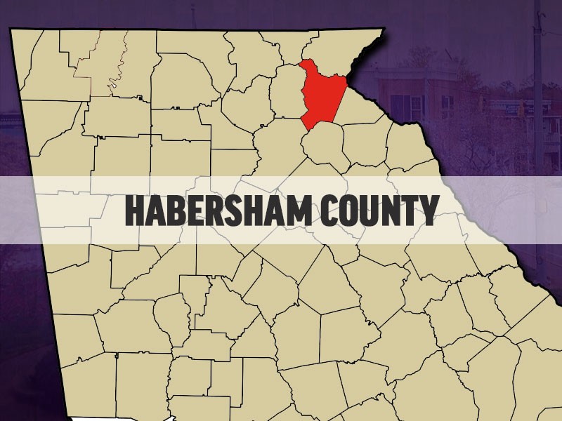
The Habersham County School System is the first in the state to adopt nationally acclaimed geospatial maps aimed at significantly enhancing its emergency threat response protocols.
Thousands of schools and private companies across the country have already adopted it, according to a news release.
Derived from a U.S. Special Operations military mapping technique, these maps, called Collaborative Response Graphics, or CRGs, transform paper-based emergency plans into a common, digitally displayed operating picture of a building’s structure. As a result, emergency response teams can instantly visualize their physical location on an actual building plan in real time to reduce human error.
With CRGs, Habersham County school administrators, law enforcement officers, firefighters, and paramedics can communicate and collaborate using a "common operating picture" of each school during an emergency.
The implementation encompasses Habersham County’s 13 schools and is being overseen by Cornelia-based ACG Solutions and New Jersey-based Critical Response Group, Inc.

http://accesswdun.com/article/2019/2/761776/habersham-school-system-first-in-state-to-adopt-new-emergency-threat-response-initiative
