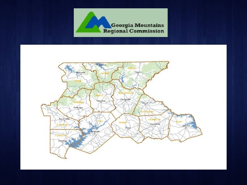
The Georgia Mountain Regional Commission (GMRC) takes another step towards updating the detailed aerial topographical photography records for the northeast Georgia region.
Information Services Director Faith Bryan said the photos, called orthoimages, are very useful to governments. "They can be used in the tax assessors office for them to appraise properties, utilities, infrastructure, economic development for project site development... it could be for numerous uses."
She said 22 counties and 6 cities in the northeast Georgia combined their buying power to purchase the new images through the GMRC.
Bryan says the flight of photos are created with such a high resolution that you can actually zoom in to see topographical features in small inch sized detail. She told the council, "The 3 inch areas, we're getting 4 tiles from the 3 inch areas, are in Towns County. The 6 inch areas are in Rabun County. So those are the pilot areas."
Bryan says they must approve the smaller sample tiles of images before the company will send each goverment agency their full county or city's photos.

http://accesswdun.com/article/2018/9/718131/gmrc-one-step-closer-to-new-orthoimages-for-ne-georgia
