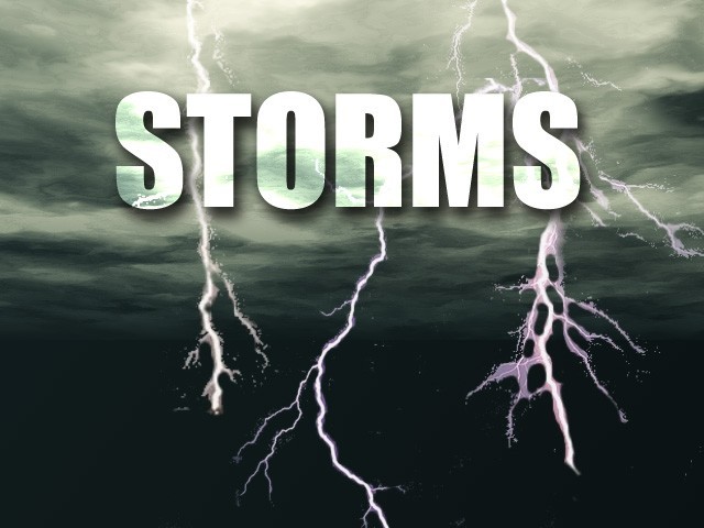
Hail stones the size of tennis balls pelted homes in different spots Saturday... smashing windshields on many cars, trucks and SUVs, and damaging the siding and roofs of homes and other buildings. Several fires, sparked by lightning, were also reported, along with downed trees and power lines.
Rainfall amounts across north Georgia since Friday have totaled around two inches in many places... including 1.83 inches as of 6:00 at Lee Gilmer Memorial Airport in Gainesville.
The rains helped push the level of Lake Lanier above full pool again for the first time in about ten days. It had dipped below the 1071 mark on March 18. The level early Monday was 1071.02.
Meanwhile, more strong thunderstorms moved through north Georgia again Monday morning,, hampering early commuters and causing power outages in some places.
Deep water on roads caused police to shut down lanes of traffic in a couple of areas early Monday morning, including U.S. Highway 78 near Hugh Howell Road in DeKalb County.
Georgia Power reported 4,000 customers lost power in metro Atlanta.
The rain extended across Georgia into Alabama.
The National Weather Service predicts clearing skies later in the day, with rain returning later in the week.
(Georgia News Network and the Associated Press contributed to this story.)
http://accesswdun.com/article/2011/3/237444