A Winter Storm Watch is in effect for much of Northeast Georgia, including Hall, Dawson, Gwinnett and Forsyth Counties.
The National Weather Service said Friday rain will be heavy at times Saturday and could change to freezing rain and snow mix leading into Sunday.
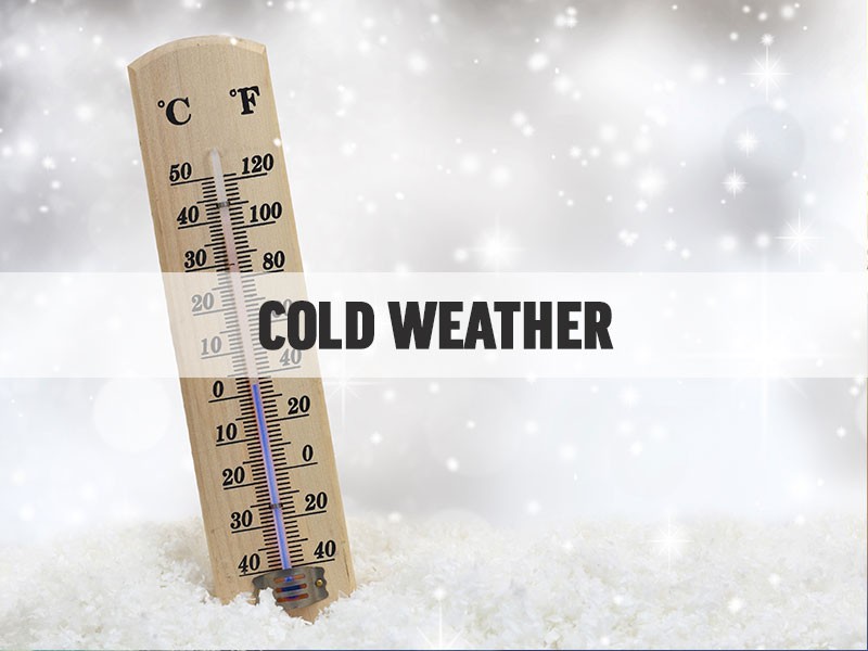
So far, forecasters expect only light accumulation, but the mix could impact the area into Tuesday.
In addition to the mix, high winds are expected that could potentially bring down ice covered trees and power lines .
Hall County Emergency Services will be having a weather assessment meeting Saturday afternoon and will examine potential weather impact on the area.
Below is the complete NWS statement issued Friday.
This Hazardous Weather Outlook is for portions of North and Central Georgia.
.DAY ONE...Tonight...
Light rain will overspread much of north and parts of central
Georgia overnight tonight.
.DAYS TWO THROUGH SEVEN...Saturday through Thursday...
Rain will become widespread and heavy at times by Saturday
afternoon, continuing into early Sunday morning. One to three inches
of rain can be expected with locally higher amounts possible. A
Flood Watch is in effect for all of north and central Georgia
beginning Saturday morning.
For Saturday night into Sunday, a Winter Storm Watch is in effect
for portions of northeast Georgia that has been expanded farther
west and south. The zone including northeast metro Atlanta and
eastward north of the I-20 corridor including Athens would be
primarily for freezing rain with accumulations up to 1/4 inch
(higher amounts cannot be ruled out as well). The rest of the
watch area including the northeast mountains is for a mix of snow,
sleet, and freezing rain, with potential for more significant snow
totals. See the Watch for more details. A transition to a light
snow/rain mix is possible both Monday morning and Tuesday morning
for more of north Georgia. Any accumulations look to be light for
now.
In addition, gusty east winds 35 to 40 mph are expected Saturday
night into Sunday morning, which would bring down ice laden trees
and power lines, and even possibly trees outside the watch area
given how the grounds will be saturated from all the rain.
Please continue to monitor updates as we get closer to the event.