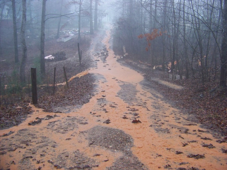
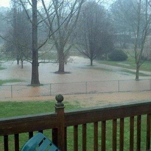
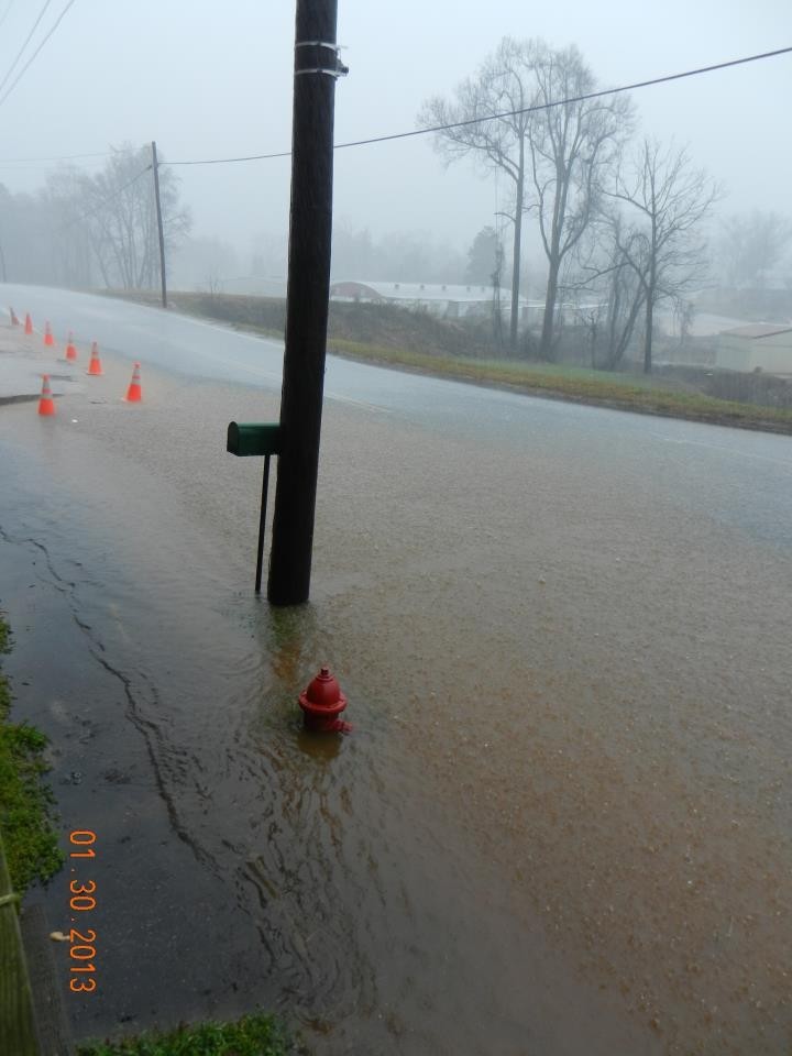
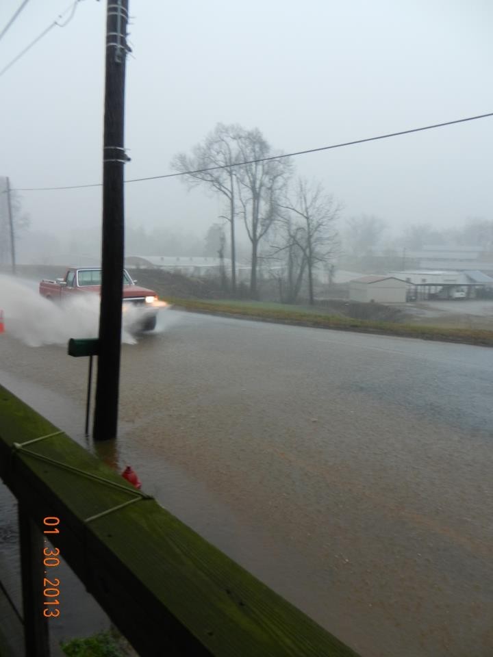
As the rains began to diminish and the threat of severe storms lessened late Thursday afternoon across north Georgia, the threat of flooding remained because of rain-swollen creeks, rivers and streams.
The National Weather Service (NWS) issued a flood warning for the Hiwassee near Hiawassee. AT 3:15, the river was at 8.3 feet, and was expected to crest at 10.5 feet tonight. Flood stage is 10 feet. (Click on link below to access detailed information on remaining watches, warnings, advisories, etc. from the NWS.)
Northeast Georgia, including the Gainesville area appears to have escaped any serious damage from the storms, which spawned tornadoes in the northwestern part of the state. (See separate story.) The peak wind recorded at Lee Gilmer Memorial Airport in Gainesville was 34 miles-an-hour. However, many places were pounded by torrential rains.
The Gainesville airport had recorded 2.01 inches by 6:30 Wednesday night. Elsewhere in the area, in Cornelia, WCON Radio had recorded 2.25 inches.
Some streets in Gainesville were covered in water and a mobile home park on the south side of town was flooded. (See separate story.)
The stormy, springlike weather was ushering in a return to more seasonal weather - with temperatures dropping throughout the afternoon, headed toward at or near freezing across most of north Georgia by Thursday morning. The temperature at Lee Gilmer dropped about 15 degrees, from 65 to 50, between 1:00 p.m. and 6:30 p.m. Wednesday.
Friday
April 19th, 2024
2:09PM